Background
During the mid-90s Bristol saw one the most dramatic periods of development and regeneration in the city’s history. However, the city was difficult to navigate and had poor public information. There was little guidance for the visitor and so the wealth of attractions and commercial opportunities the city had to offer were easily missed.
In 1996 the Bristol Legible City initiative was conceived by Bristol City Council to deliver an information and wayfinding strategy that matched its ambition to be a leading cultural and commercial destination. The project was recognised as ground-breaking and has since been replicated in cities across the UK and internationally.
Bristol Legible City now
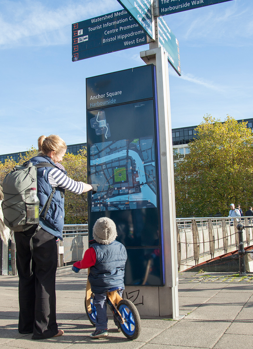
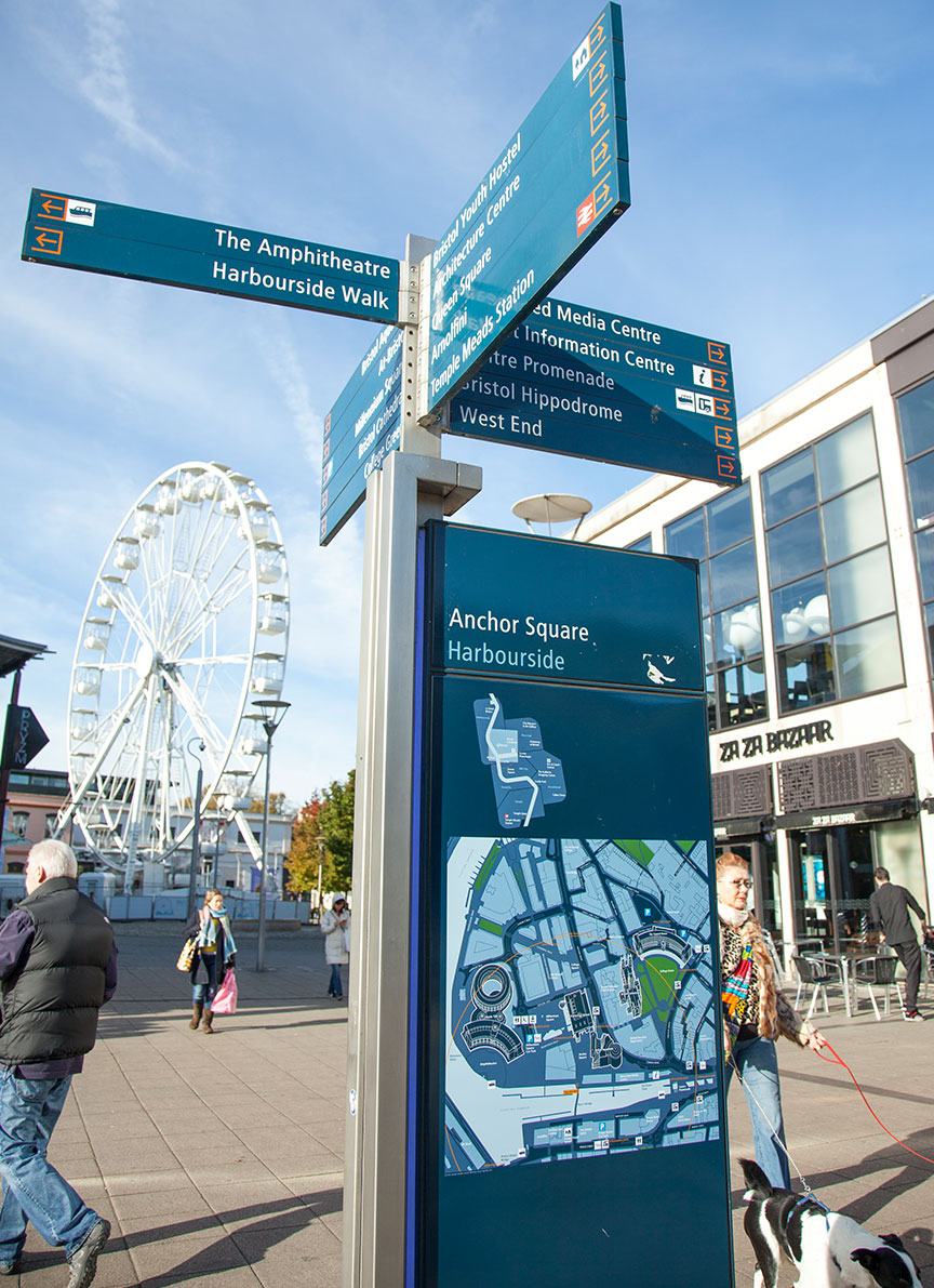
This work continues today. To keep up with the rapid pace of change in Bristol the pedestrian system is about to undergo a major upgrade with all on-street map units being retrofitted to incorporate high-quality, enhanced, illuminated mapping. We are also working to integrate sensors and communication equipment into the map monoliths to make our street furniture ‘smart’ providing visitors and residents with useful data about the city’s streets and spaces.
The broader scope of the project is also being realised with the legible city approach being incorporated into cycling and public transport information to make it easier for residents and visitors to navigate their way around the city’s transport system and cycle network.