City Mapping Suite
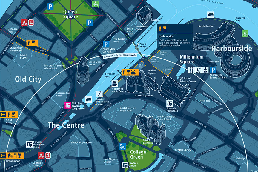
This is a new initiative of the Bristol Legible City initiative building on the city’s existing mapping and information resources. Over the next five years the project will be building a high- quality, royalty-free map of the city. This map will provide all the cartographic resources needed for the project’s wayfinding resources but will also be co-produced with local community groups for use by neighbourhoods to display the information they think is important.